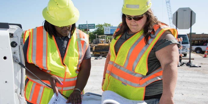
| General
Beginning with the
November 2005 letting, MoDOT will provide a CD-ROM containing
electronic design data along with the bidding documents to
aid the bidder in the use of automation of bid estimates,
and/or GPS grading and staking.
Will electronic
design data be provided for all projects?
Only projects with
total earthwork volume exceeding 250,000 cubic yards and designed
with the GEOPAK software will qualify for delivery of electronic
design data.
Exactly
what design data is being provided and in what format? Guidelines
for Consultants
The design data will
be provided in the native format of MicroStation and/or GEOPAK
files as used by the department, which include
-
MicroStation
drawings (.dgn files) showing proposed master (strip map)
plan view geometry.
-
MicroStation
drawings (.dgn files) showing master GEOPAK intelligent
cross sections for main alignments.
-
Geopak XS-List
report (.xsr files) for each alignment with GEOPAK intelligent
cross sections. How
To Create XS Reports
-
GEOPAK coordinate
geometry database (.gpk file) containing final horizontal
and vertical alignments, special ditch profiles, and control
points.
-
An ASCII text
file including superelevation transition stations.
-
A text file describing
the contents including project name, drawing names, and
coordinate geometry descriptions.
For additional
information regarding electronic design data, please contact:
MoDOT Design
Division
P.O. Box 270
Jefferson City,
MO 65102
Phone: 573-751-6591
Fax: 573-526-4535
Email: Alexa.Mitchell@modot.mo.gov
The documents are provided in Acrobat Reader format. Free Acrobat Reader download
|